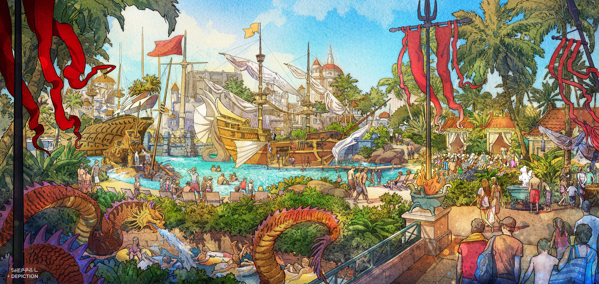
Architectural Illustration
Watercolor Sketches and Renderings
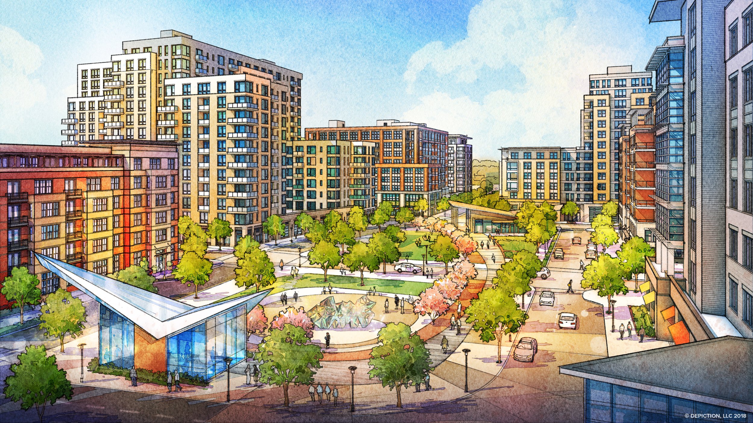
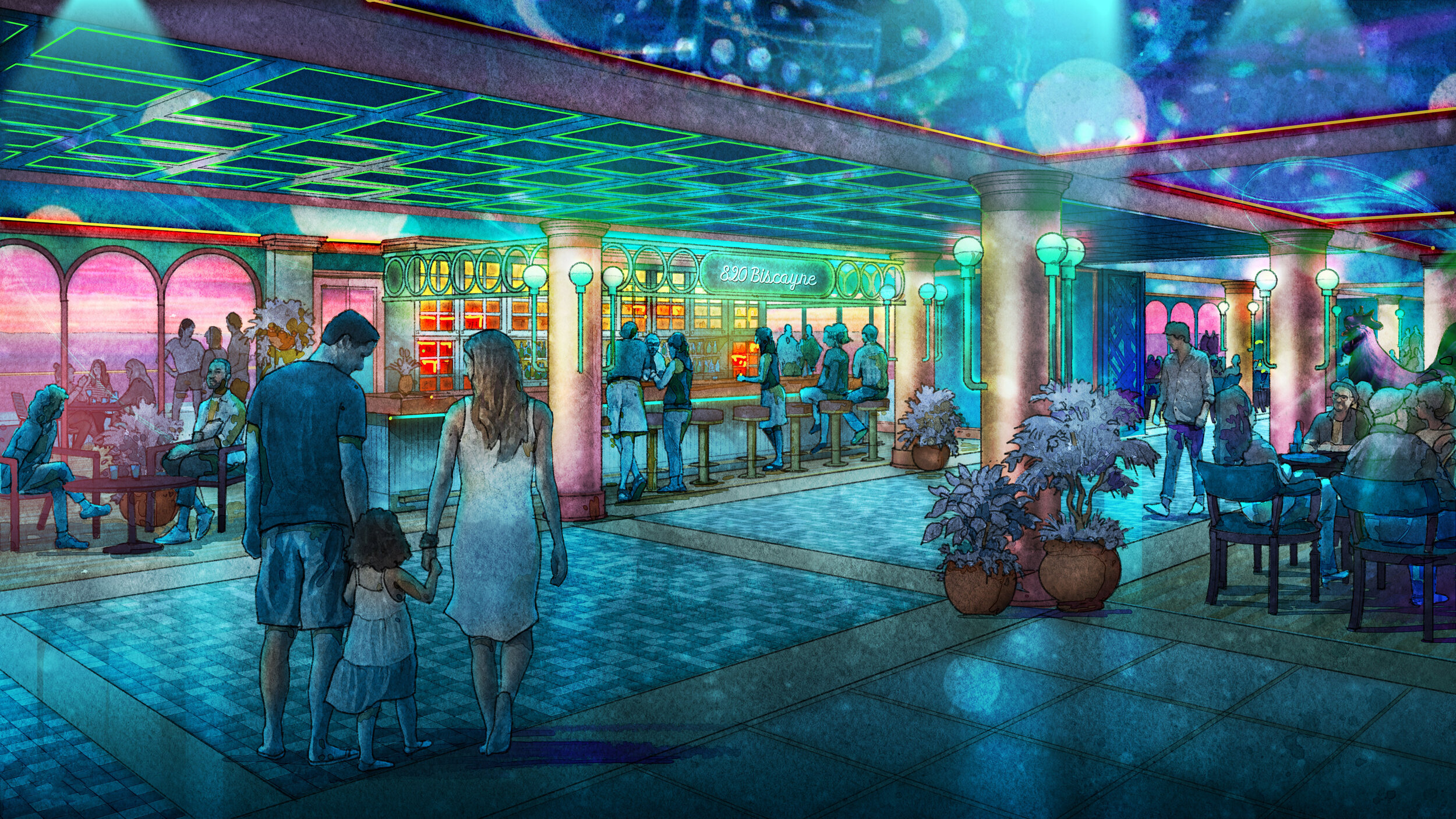
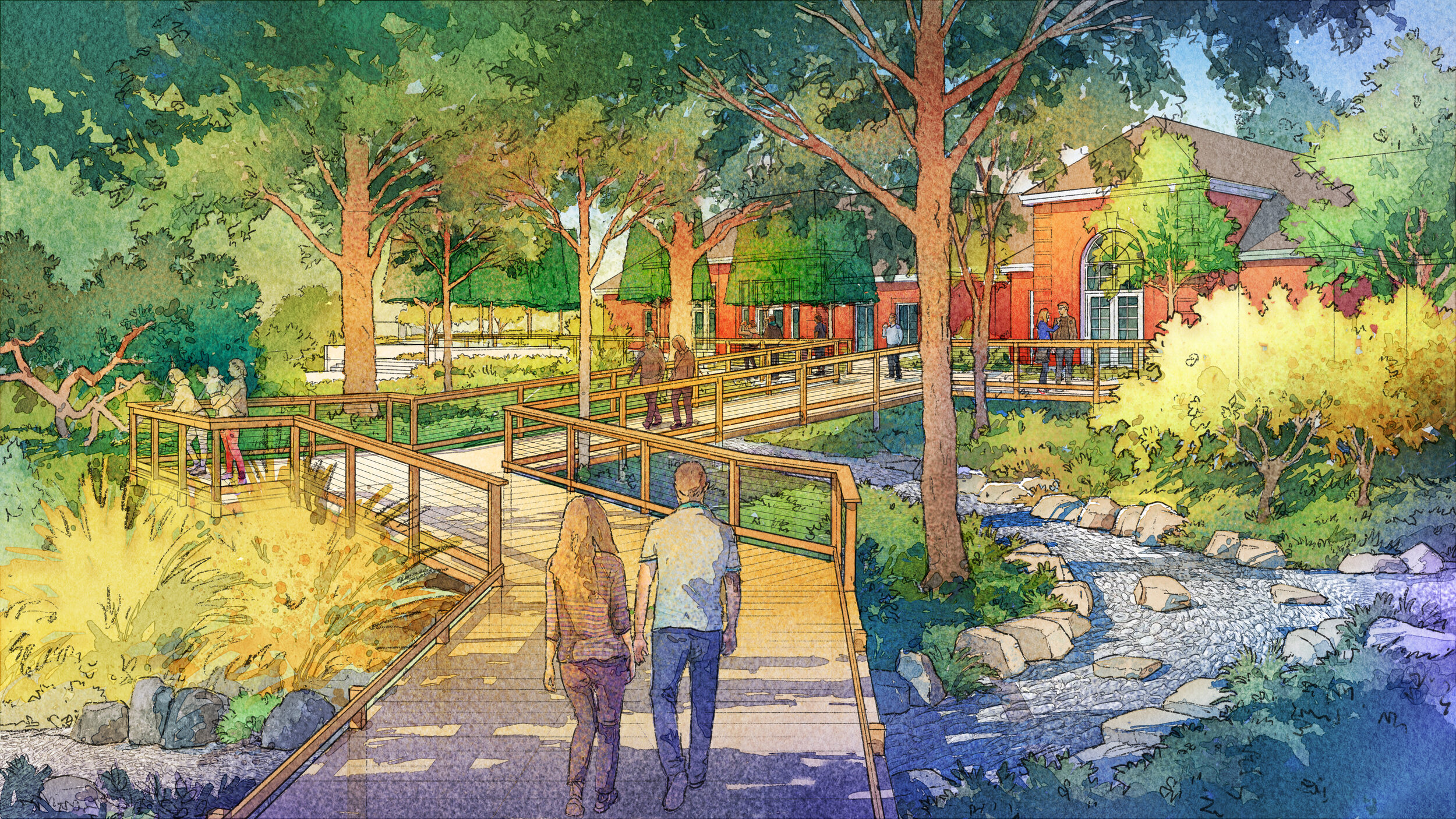
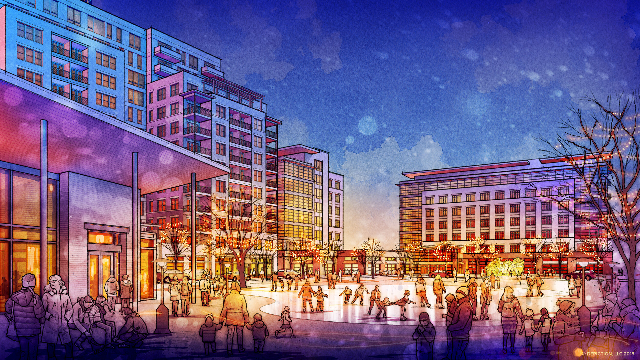
Watercolor Rendering
Depiction, LLC is an architectural rendering and illustration studio creating watercolor perspective renderings. Our artists collaborate with architects, landscape architects, interior designers, and developers as design team members to depict a visual story of the project.


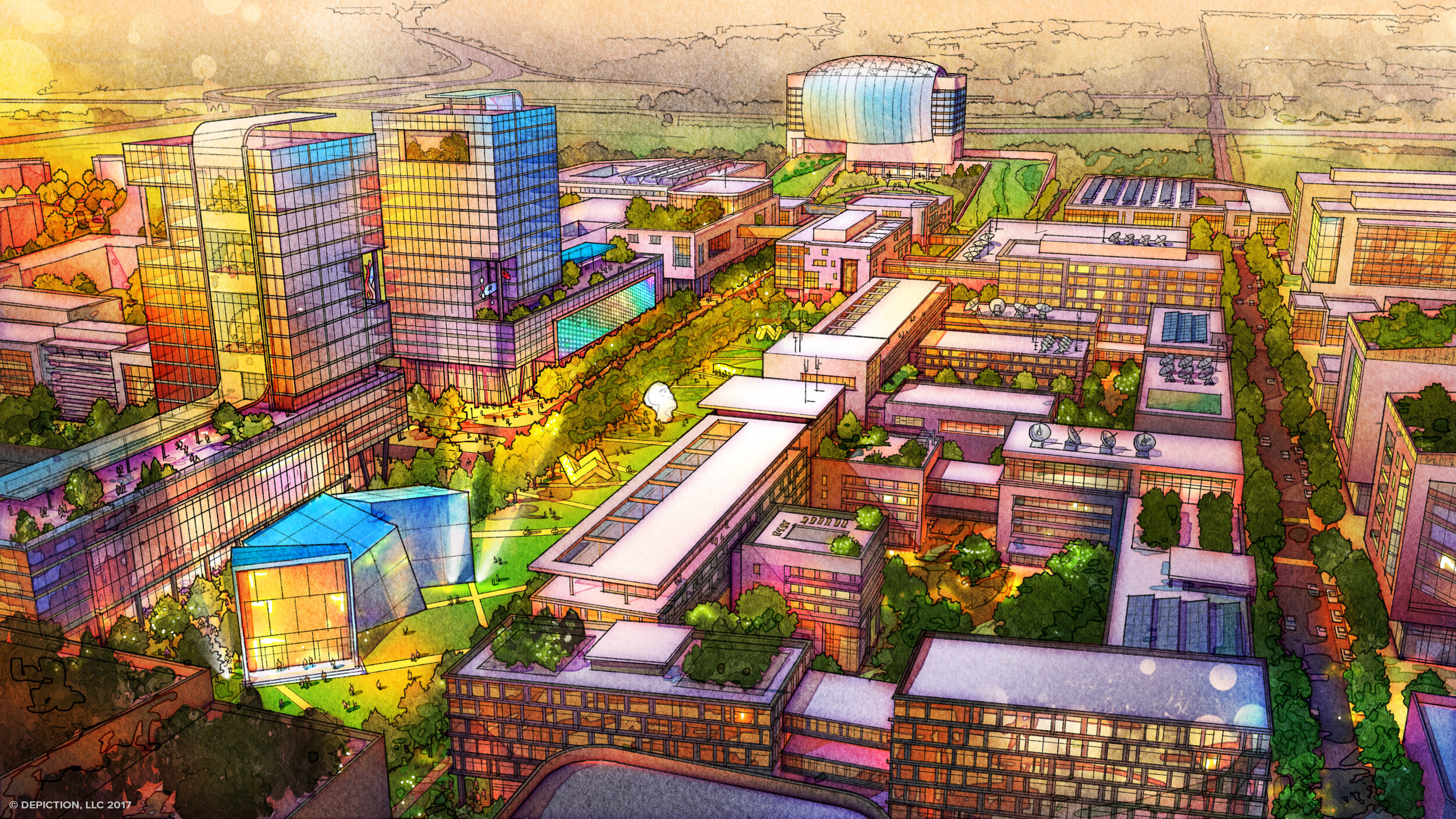
Urban Design and Planning Illustration
see more


Rendering Galleries
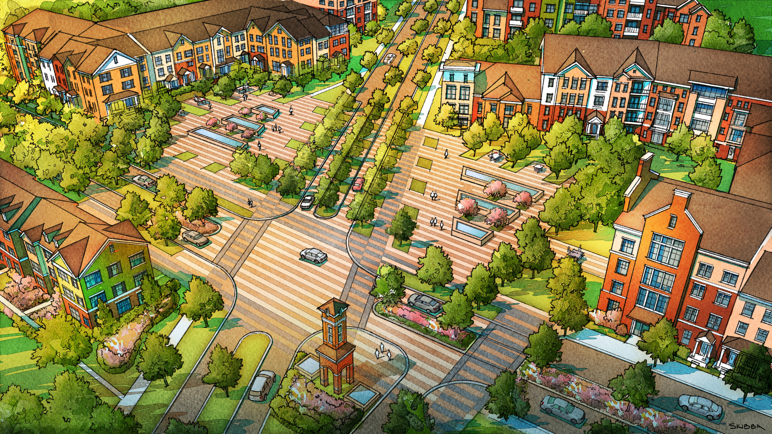

Architectural
Rendering
Our ability to consistently deliver quality, hand-crafted imagery has earned the trust of our clients. We believe in enjoying the process and being a pleasure to work with. The passion for our craft is reflected in the quality of the work.

Design Charrette
Illustration
It is our goal to serve our clients by helping to visualize their concepts and to be an integral part of the design team. We strive to understand the essence of each project and reinforce that message or story through artfully crafted illustration

Education
and Demos
We’ve established our illustration studio to better serve our client's needs, and also to grow as artists. We work with the intention of creating evocative imagery that will bring life and vibrancy to the design.
Architectural
Rendering
Services
We transform simple 3d computer models into fully articulated watercolor renderings.
The illustration process has evolved into one of flexibility, efficiency, and collaboration. Our expertise in traditional media has provided our artists the ability to tailor technology into a digital work flow which is intended to reflect the qualities of traditional media. This allows us to deliver hand-crafted visuals, both quickly and economically, in a fast-paced, ever-changing environment.
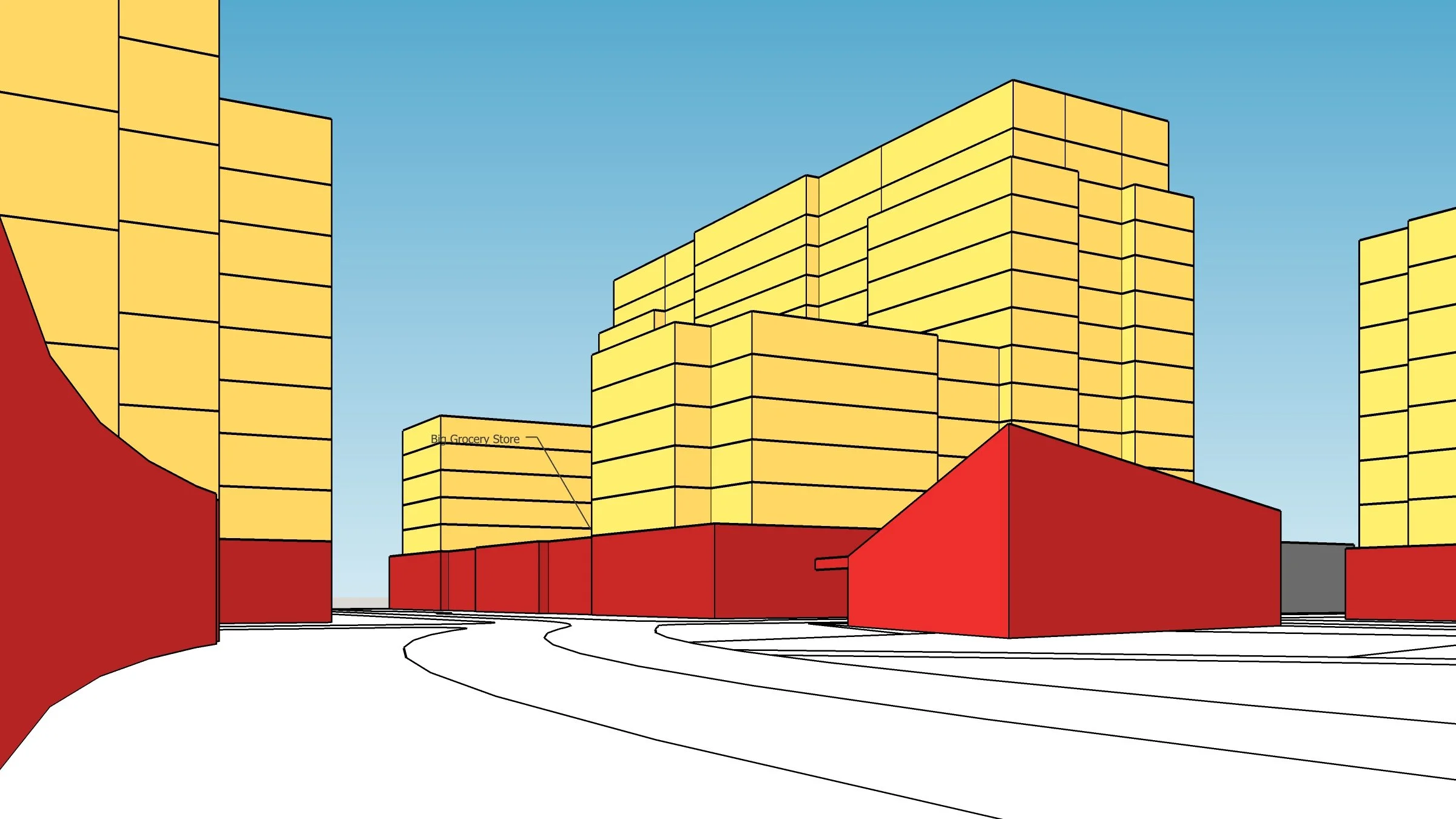
No Elevations?
No Problem.
Our artists have over three decades of experience, which allows us to identify and craft the visual narrative and present it through artful, engaging imagery. We pride ourselves on our ability not only to serve as an architectural visualization service but to collaborate as part of the design team, inventing architecture and conceptualizing the public realm.
A: Preliminary Drawing Time-Lapse
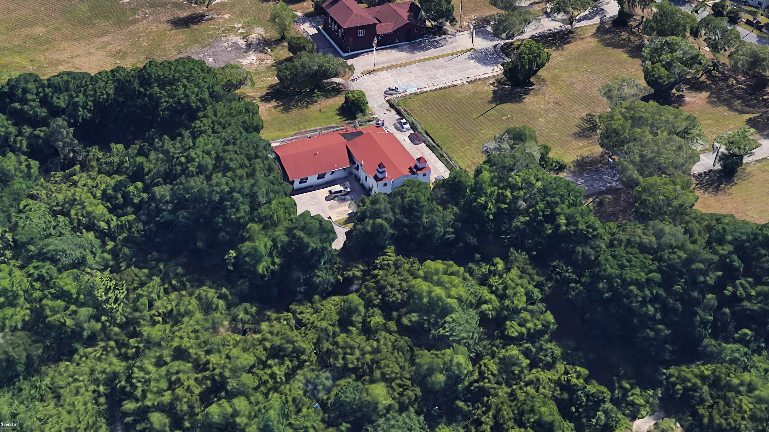
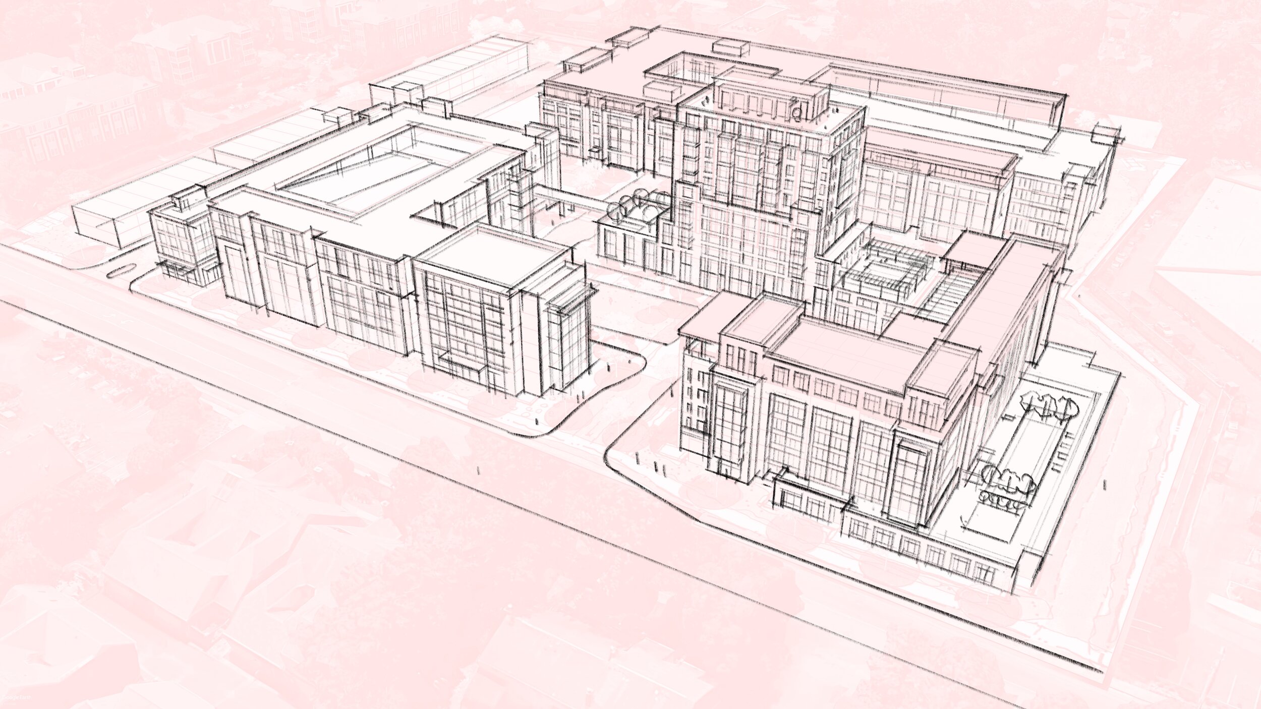
B: Client Base SketchUp Model


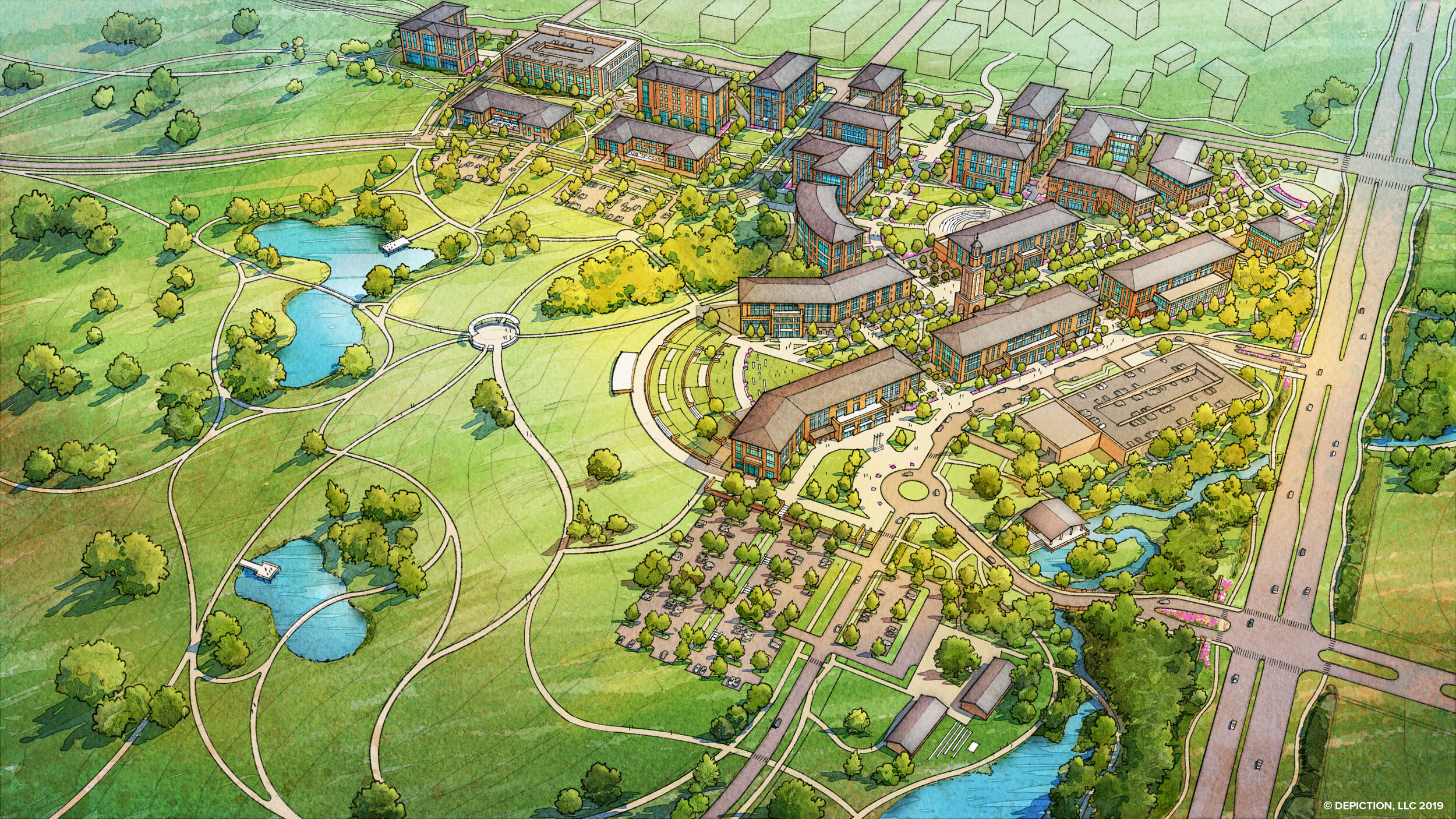
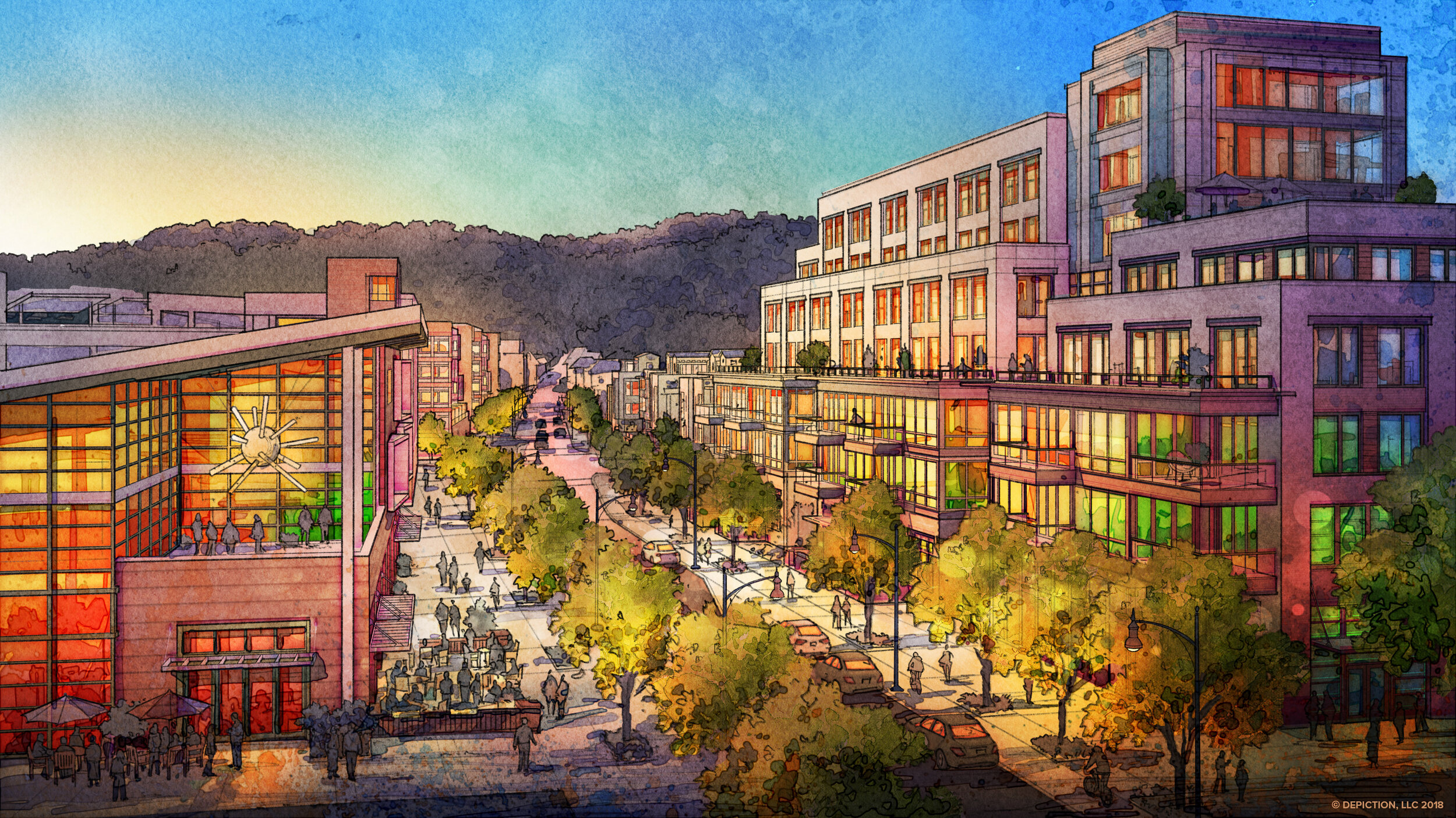
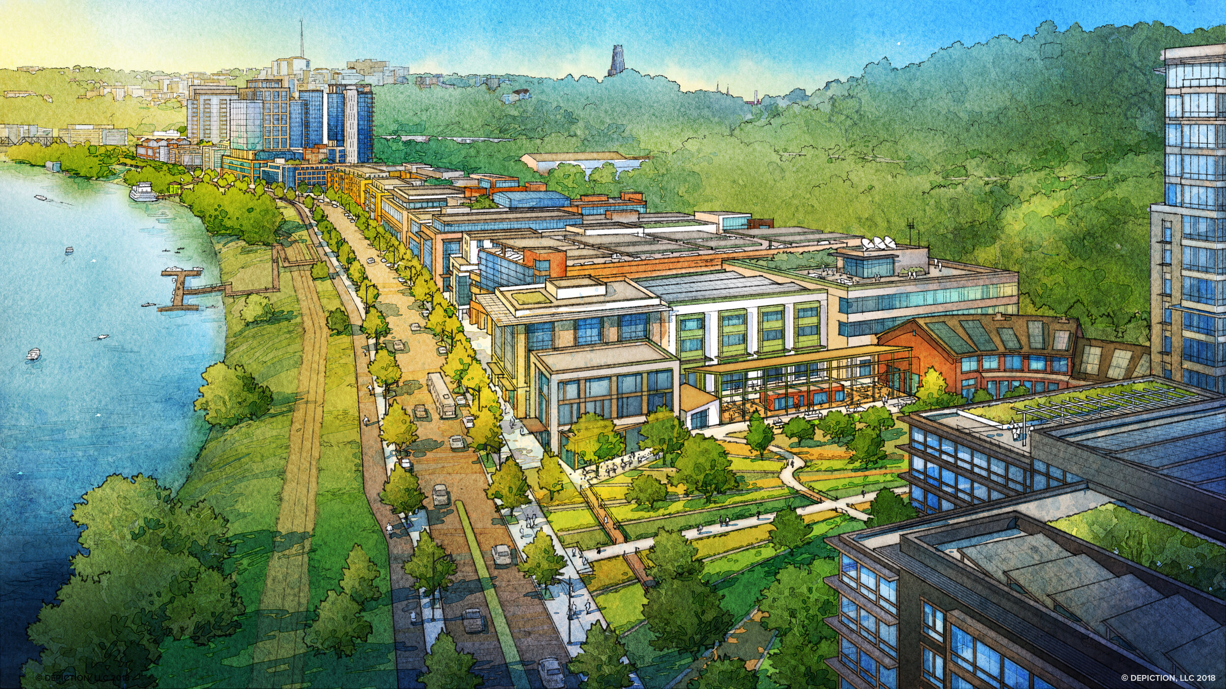
Trying to create a sense of place?
It’s in there.
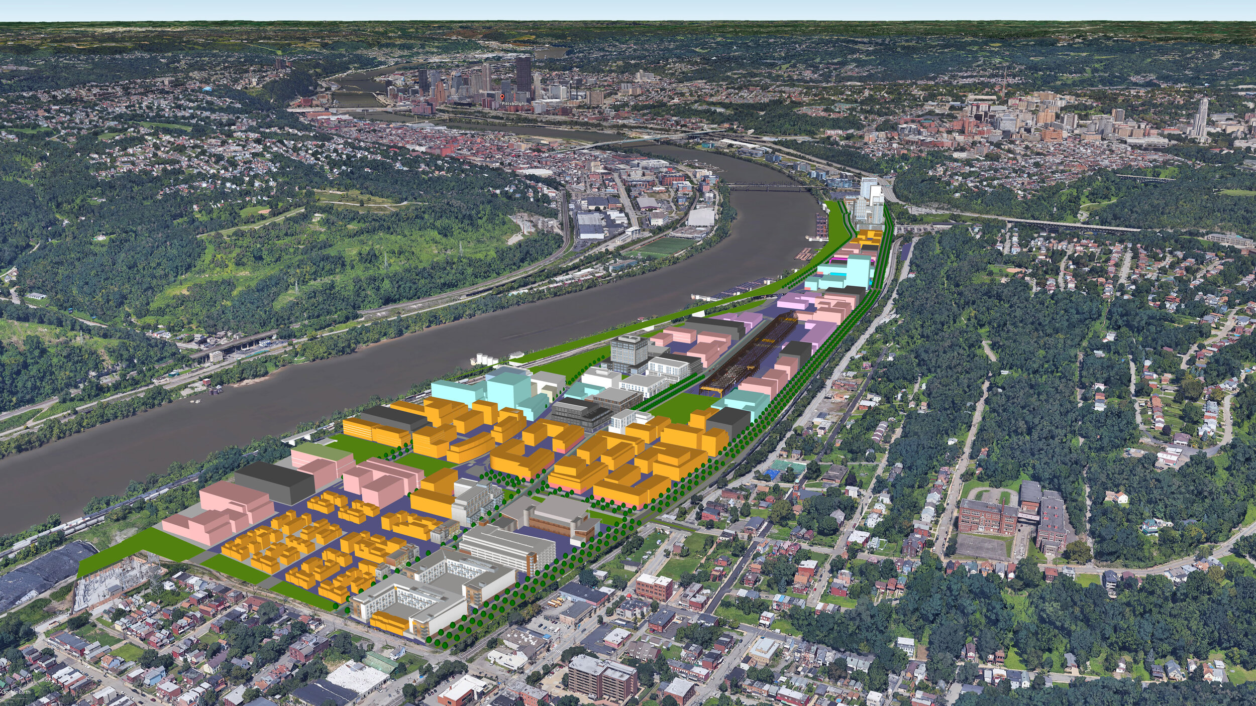
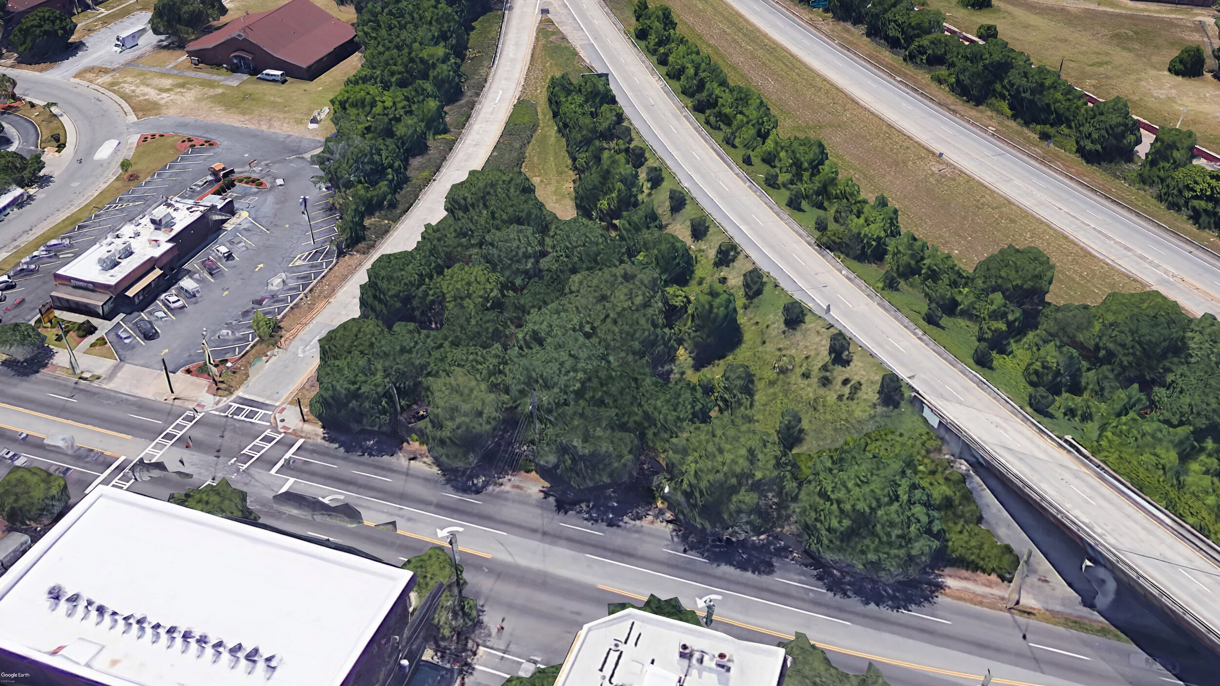
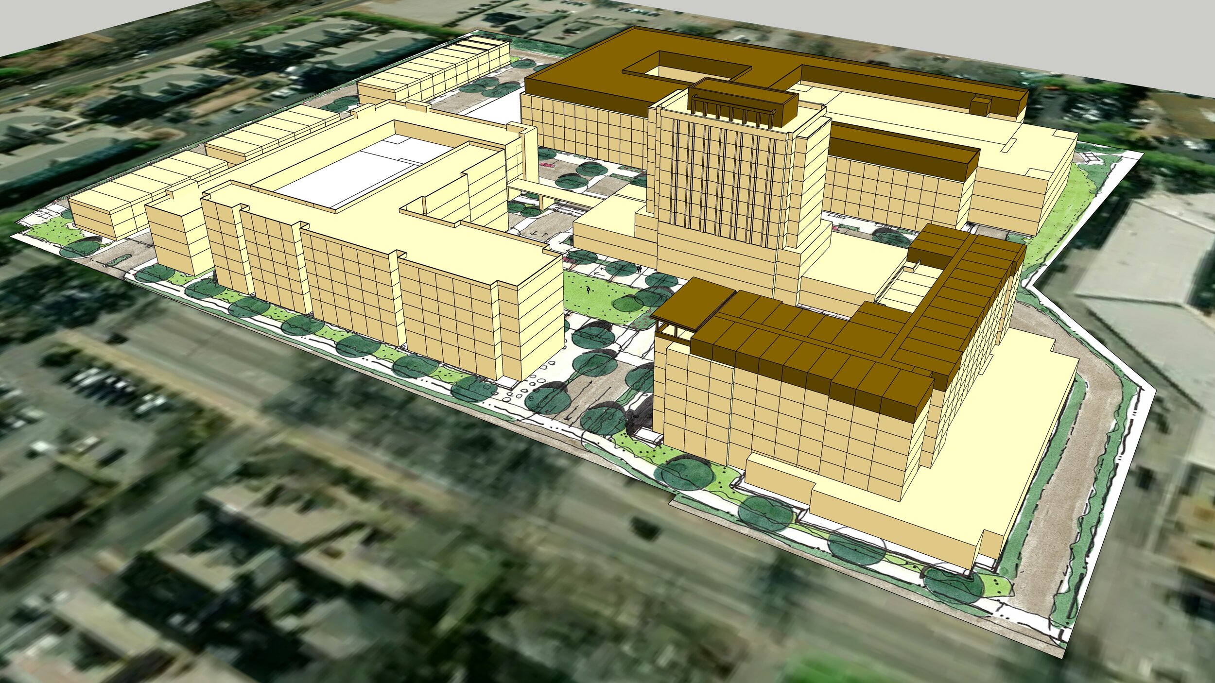
A: Composited Base SketchUp Model
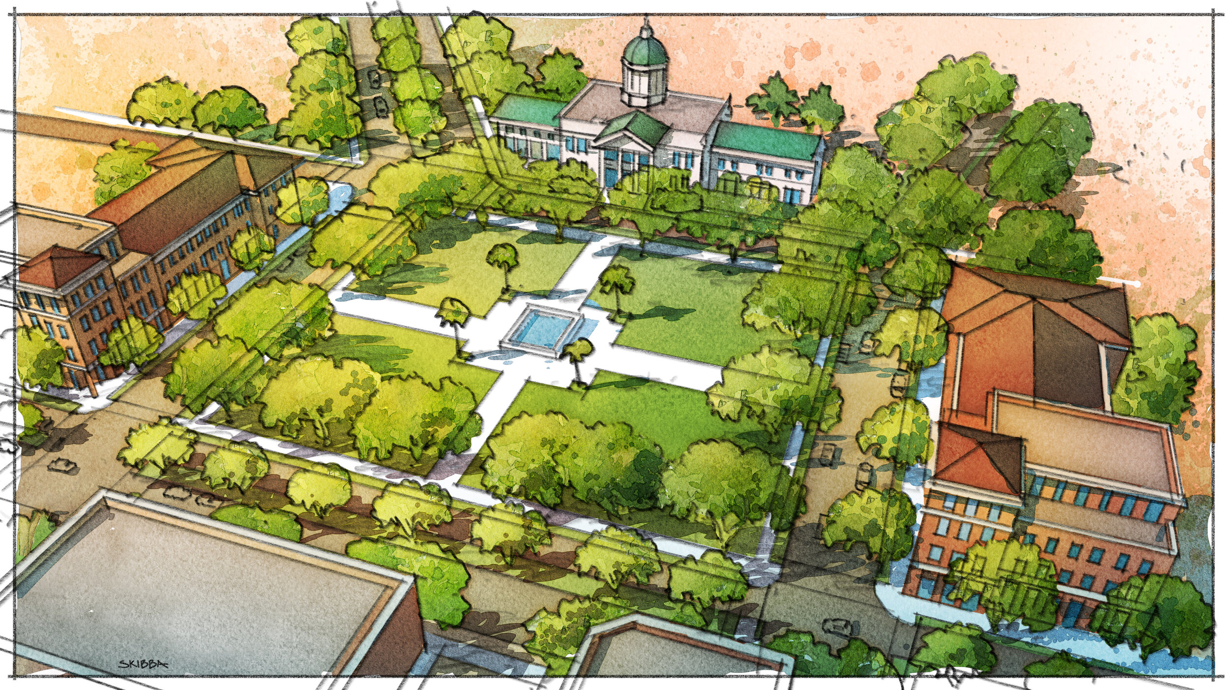
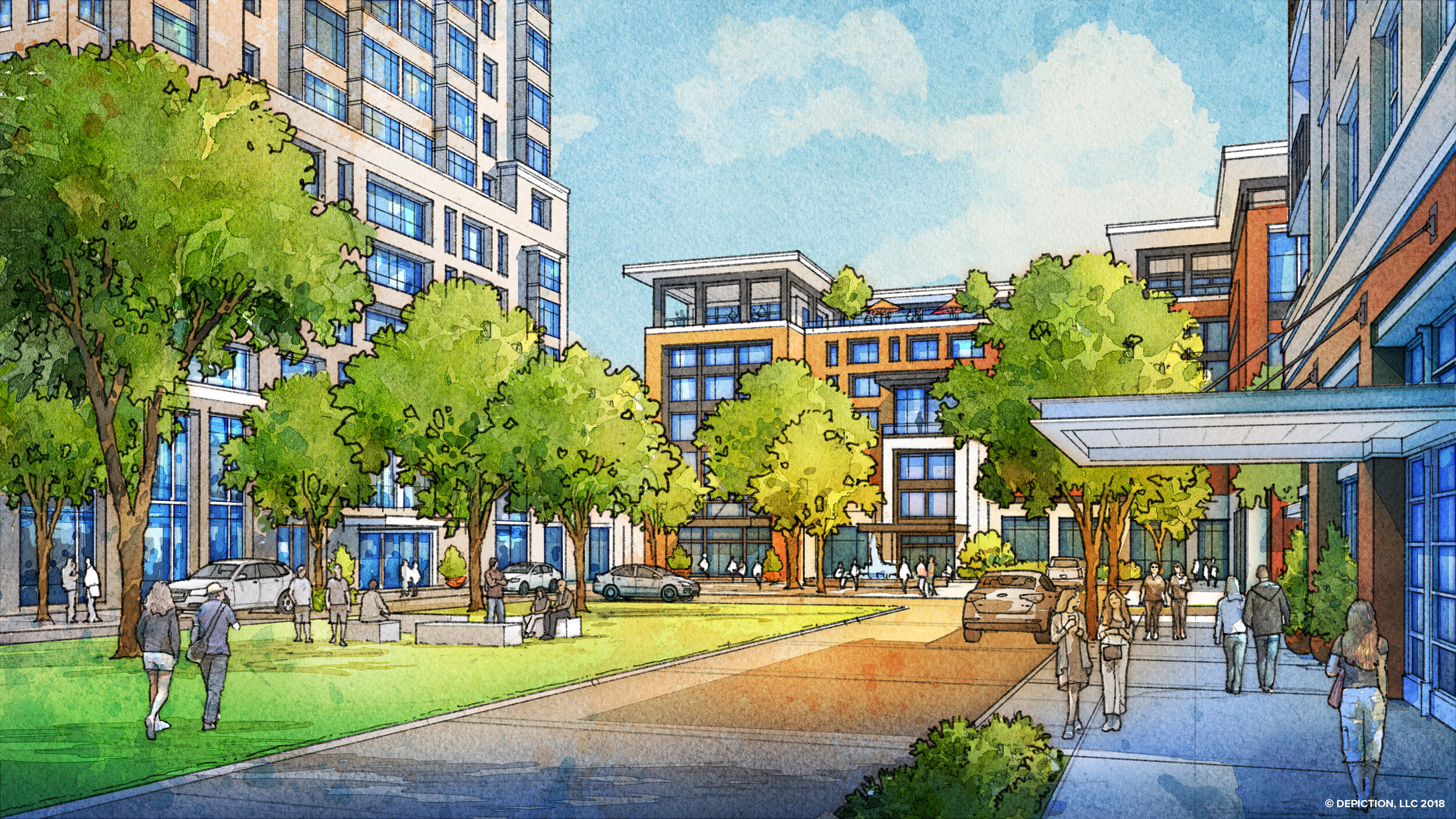
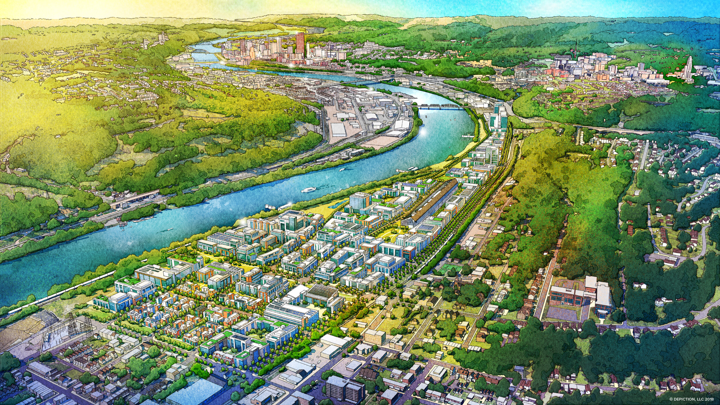
B: Aerial Watercolor Rendering
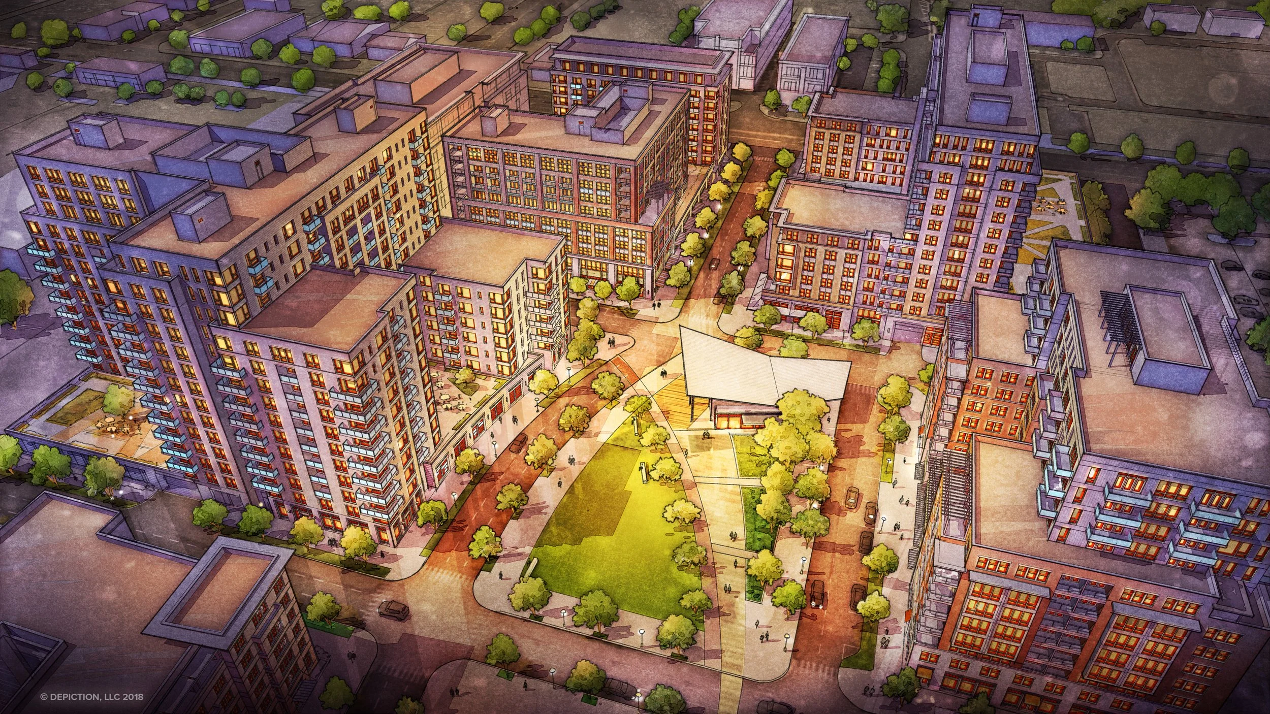
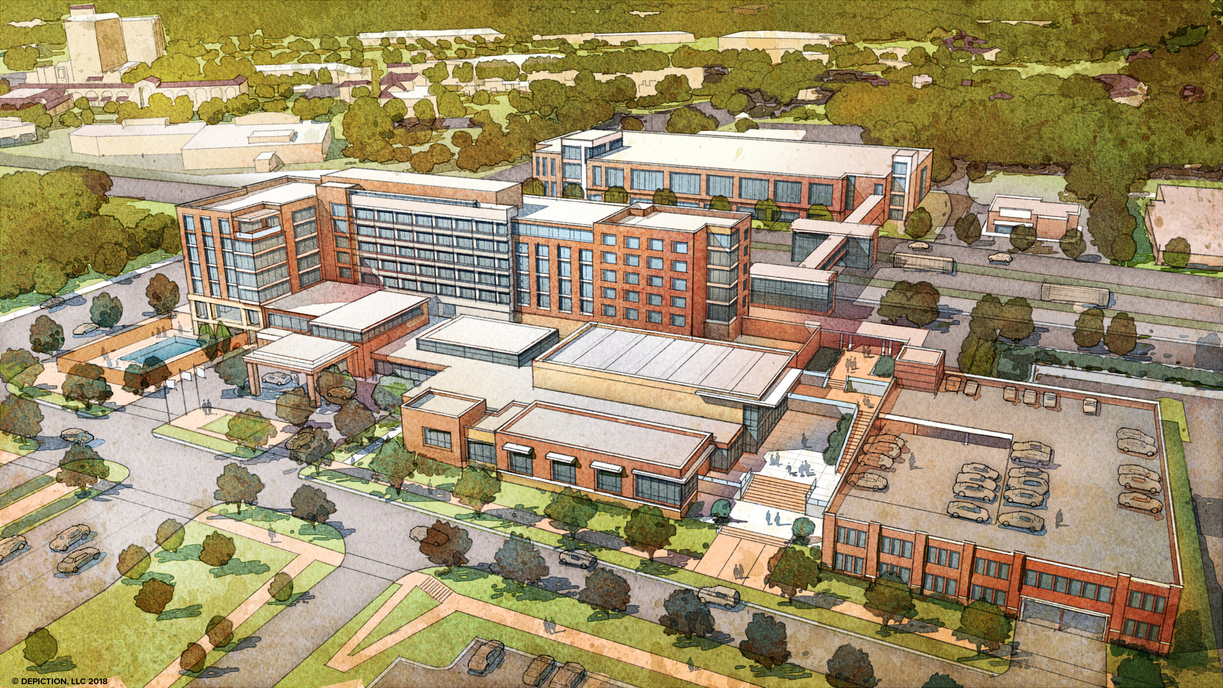
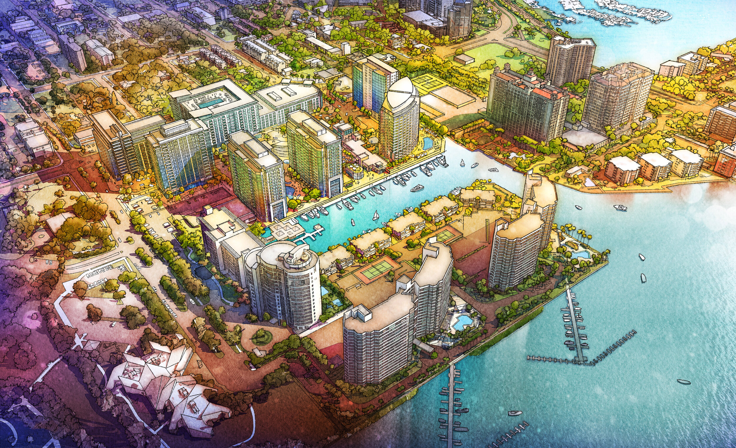
Title: Hazelwood Green
Location: Pittsburgh, Pennsylvania
Client: Remake Group
The client provided a massing model on a well-designed site plan. We aligned the model with a Google Earth export and composited the two elements together. The composite was used as a base for the drawing. The sliding before/after example shows the power of our architectural invention and watercolor rendering skill set.


Design Charrette Services
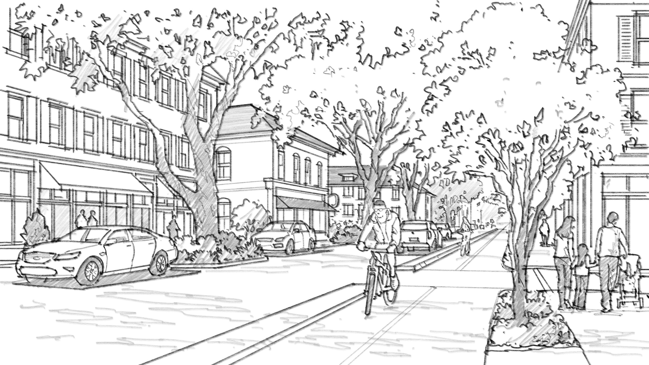
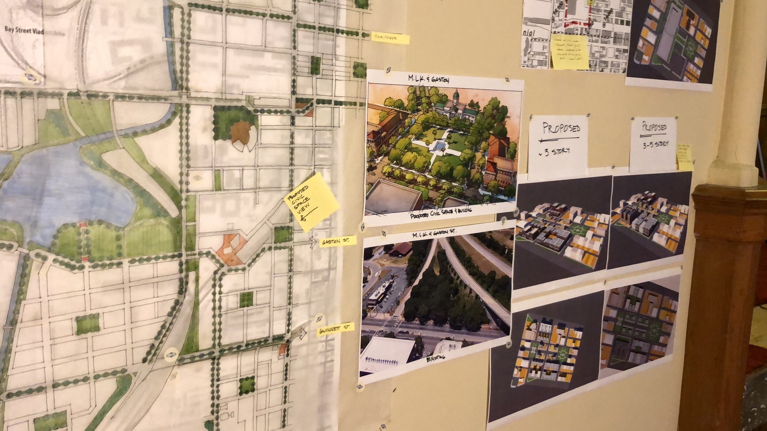
Working on location as an integral part of the design team is beneficial for immediate feedback and the development of perspective renderings. Charrette illustrations are often times looser colored drawings produced over several days and used in the final presentation. The illustrations are a team effort with everyone (including the public) contributing to the thought process, design, and character of the place.
What is a charrette? A charrette is an intensive planning session where citizens, designers, and others collaborate on a vision for development. It provides a forum for ideas and offers the unique advantage of giving immediate feedback to the designers. More importantly, it allows everyone who participates to be a mutual author of the plan.
The idea for design charrettes (from the French word charrette meaning “chariot” or “cart”) is believed to have derived from stories of architectural students in Paris in the 1800s. As the story goes, students’ exams were collected in a charrette, and some of these students continued to madly sketch together as their designs were being gathered for evaluation.
A time-lapse from a day-in-the-life of charrette work.
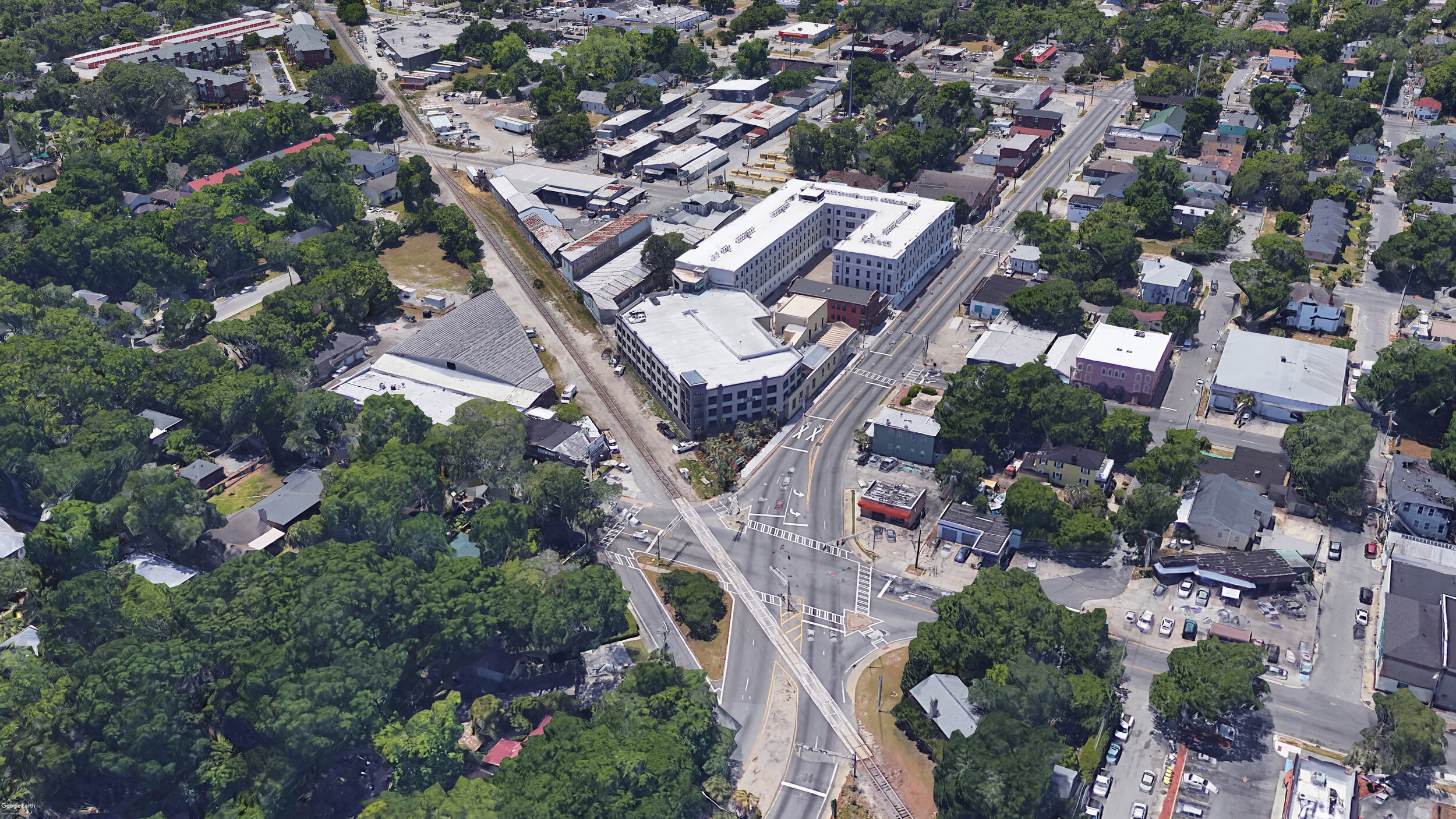
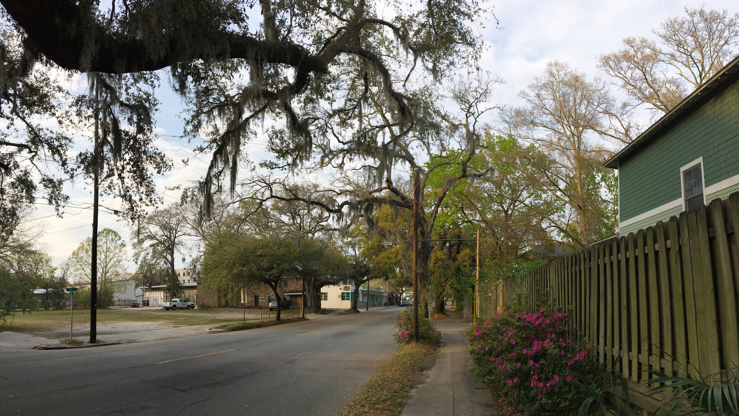
Savannah, GA
The charrette working session was held in a local church, providing ample space for the team, residents, and government officials to listen, provide feedback and design. The collaboration with the team was ambitious and with everyone contributing, seven perspectives were created over three days. This Savannah project was also presented at the Congress of New Urbanism 26 conference.